
NEW WEBINAR
Post-Depositional Weathering of Glacial Deposits:
Understanding the Development and Effects of Weathering Zones and Secondary Jointing
Surficial weathering alters the geotechnical and hydrogeologic properties of glacial sediments. South of the Canadian Shield, where glacial deposits are derived from Paleozoic and younger sedimentary bedrock, distinctive weathering patterns and weathering zones develop from the surface downward.
Surficial soils develop from the land surface downward and are commonly 0.5 to 2 m (1.5 to 6 feet) thick. Alteration is so great that these surficial soils have a pervasive secondary soil structure that largely obliterates any primary sedimentary structure.
Beneath the surficial soils, weathering continues but is not as intensive, and a sequence of "weathering zones" develop. Weathering zones and secondary jointing in fine-grained sediments is among the most important subsurface attributes for hydrogeologic, environmental and geotechnical projects, effecting:
- Permeability, both primary and secondary
- Water Table
- Jointing and Fracturing in Fine-Grained Sediments
- Drainage
- Strength, Compaction, Density/Consistency
- Contamination
- Stratigraphy and Facies Changes
The sequence and depth of these weathering zones indicate the nature and extent of the subsurface alteration that these deposits have undergone. Weathering zones can be quickly and readily described using simple letter abbreviations, and are extremely important in recognizing vertical facies changes and the potential for jointing at depth in the glacial succession.
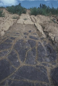
Accompanying weathering is the development of secondary jointing: fractures that affect infiltration and sediment strength. Examination of fracture geometry indicates that they develop from desiccation. The desiccation process significantly affects the hydraulic conductivity of fine-grained glacial deposits.
Professionals rarely get a chance to learn about the importance of weathering zones and jointing in glacial deposits - this webinar series is designed for hydrogeologic, environmental and engineering professional who can benefit and improve project results by discovering how to understand some of the most important site characterization attributes.
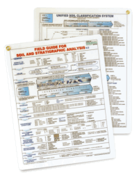 RECEIVE A FREE
FIELD GUIDE FOR SOIL AND STRATIGRAPHIC ANALYSIS
with each registration.
Additional copies may be ordered for only $10 each
(plus shipping).
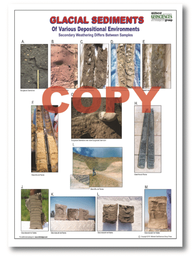 OPTIONAL ADD-ON
GLACIAL SEDIMENTS LAMINATED CHART (12" x 18")
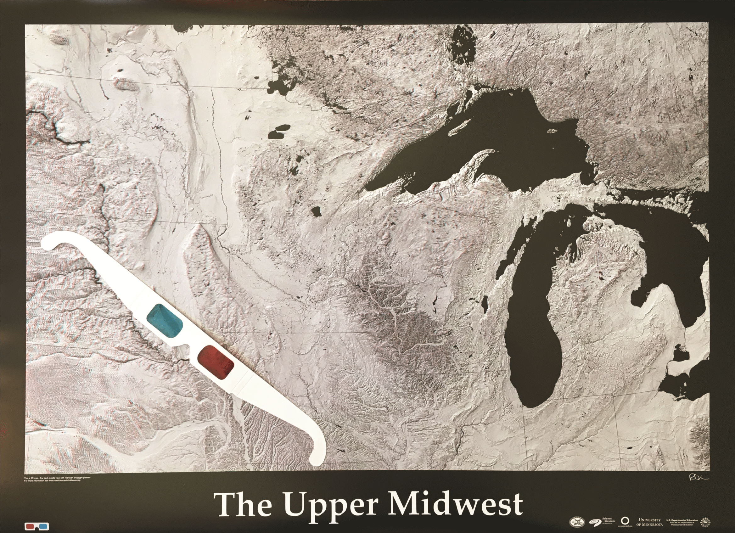 FREE 3D MAP
THE UPPER MIDWEST
Pay Only Shipping
Limit 1 Map per registration
Click Here for larger view
| Fee: |
299.00 USD Per Computer Site (unlimited participants per site)
249.00 USD Per Computer Site for our Members
99.00 USD Per Computer Site (unlimited participants per site)
when Members register for the Series:

(discount will be applied during checkout based on your cart)
Pay one site registration fee and an unlimited number of participants from your organization can attend at that site.
|
| Instructor: |
Tim Kemmis, PhD, PG |
|
| Handouts: |
Copy of Webinar Slides (pdf)
Record of Attendance Form (pdf)
|
| Duration: |
2.0 hour plus Q&A
(no restrictions on time limit for extra Q&A!)
|
Professional
Development: |
Earn 2.0 Professional Development Hours (2.0 PDH)
 |
A Record of Attendance Form is included free with each webinar for your record keeping and individual PDH verification. We ask your on-site coordinator to return the completed and signed copy of the Form to us following the webinar for (1) maintaining a separate copy as a service to attendees and (2) forwarding to NIU confirming attendance for those who order certificates.
Attendees may also order an official a Course Completion Certificate from Northern Illinois University for a small administrative fee. The Certificate is optional and may be ordered separately following the webinar to confirm your attendance and showcase the certificate on your office wall. Instructions for ordering certificates are given during the webinar.

* This webinar is eligible for the 'BUY THREE, GET THREE' discount; however ANY webinar series discount shown above cannot be combined with it.
Attendees will be invited to actively participate during this live and interactive on-line web seminar. Discussion is planned following the webinar for those who want to continue the session. Bring your questions to the webinar and present them to the instructor and other participants for exploring the best solution.
Instructors Bio
Tim Kemmis, PhD, PG
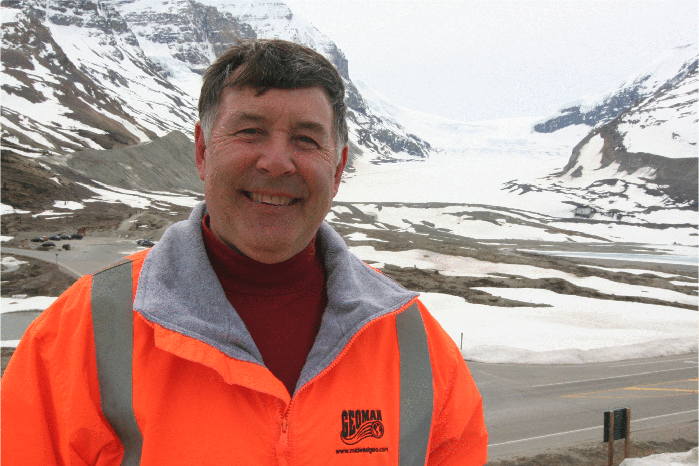 Tim Kemmis, PhD, PG is a Senior Hydrogeology Consultant and Project Manager for large-scale hydrogeologic investigations. His unique experience as both an applied researcher and consultant has enabled Tim to effectively teach staff at all levels how unravel sedimentary complexities by making fundamentally sound observations, preparing complete and accurate boring logs and confidently correlating geologic units.
Tim received his bachelor's degree in agricultural soil science from the University of Illinois and his master's degree in glacial geology while working as a graduate assistant at the Illinois State Geological Survey.
He worked 14 years for the Iowa Geological Survey, during which he received his Ph.D., and where he:
- Carried out glacial sedimentologic investigations
- Remapped the Des Moines Glacial lobe
- Established the formal glacial stratigraphy for the lobe based on depositional environments
- Discovered a new type of hummocky glacial topography
- Determined the geometry and origin of jointing in glacial tills
- Developed a lithofacies code to decipher the history of glacial outwash and alluvial sequences
Tim is a co-founder of Midwest GeoSciences Group and has successfully taught many courses and webinars dedicated to improving boring logs and helping geologists think on their feet.